Walking/hiking | Mountain biking
The Heights of Pont-Rémy
Somme Bay and Picardy coastSomme Valley

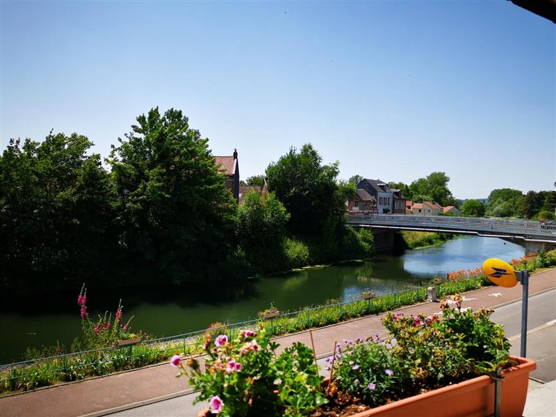
Departure:PONT-REMYThe canal Mooring, 250m from the church at Pont-Rémy on the tow-path (car park at the church)
Arrival: PONT-REMY
Distance : 9,5
Walks/rides taking from 1 hour to a full day
Duration03:20
Duration for mountain bikers01:00

Photo(s)
Why come?
Onglets
Trail-blazing: Yellow sign posts
Print the hiking sheet
GPS tracks
TéléchargementCircuit rando Les Hauts de Pont-Rémy.kml
TéléchargementCircuit rando Les Hauts de POnt-Rémy.gpx
Accessibilité
Calculer mon itinéraire
The Heights of Pont-Rémy
The Heights of Pont-Rémy
PONT-REMY
I discover nearby

Exploring natural places
Camp César d'Erondelle
Furnished apartments and self-catering accomodation
